Log in
All resources
Create a design
863,826 Free Images of Maps By Coronelli
maps by joseph hutchins colton
maps by gustav adolf von varendorf
18th-century maps of schleswig-holstein
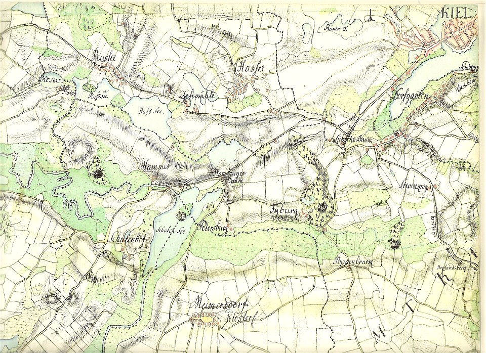
old maps of kiel
maps in the library of congress
david rumsey historical map collection
maps by martin waldseemüller
maps by sebastian münster
maps by willem and johannes blaeu
maps by benedetto bordon
maps by george h. walker and company
maps in the library of congress
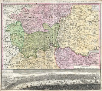
18th-century maps of london
johann baptist homann
german-language maps showing history of europe
maps by brockhaus
maps by hendrik hondius the younger
latin-language maps
david rumsey historical map collection
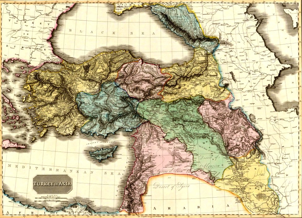
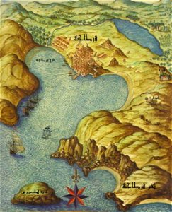
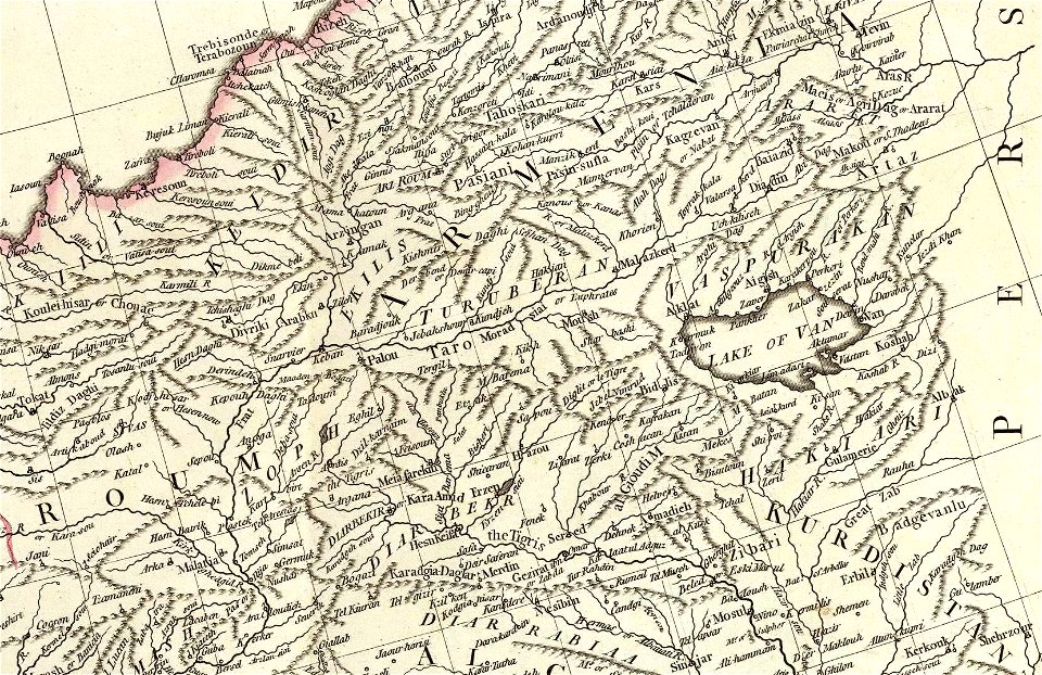
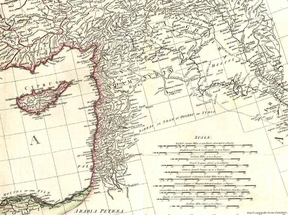
old maps of the middle east
david rumsey historical map collection
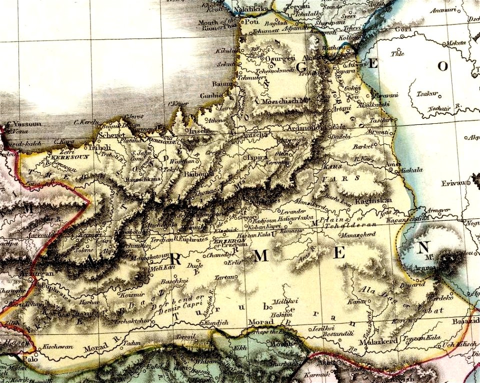
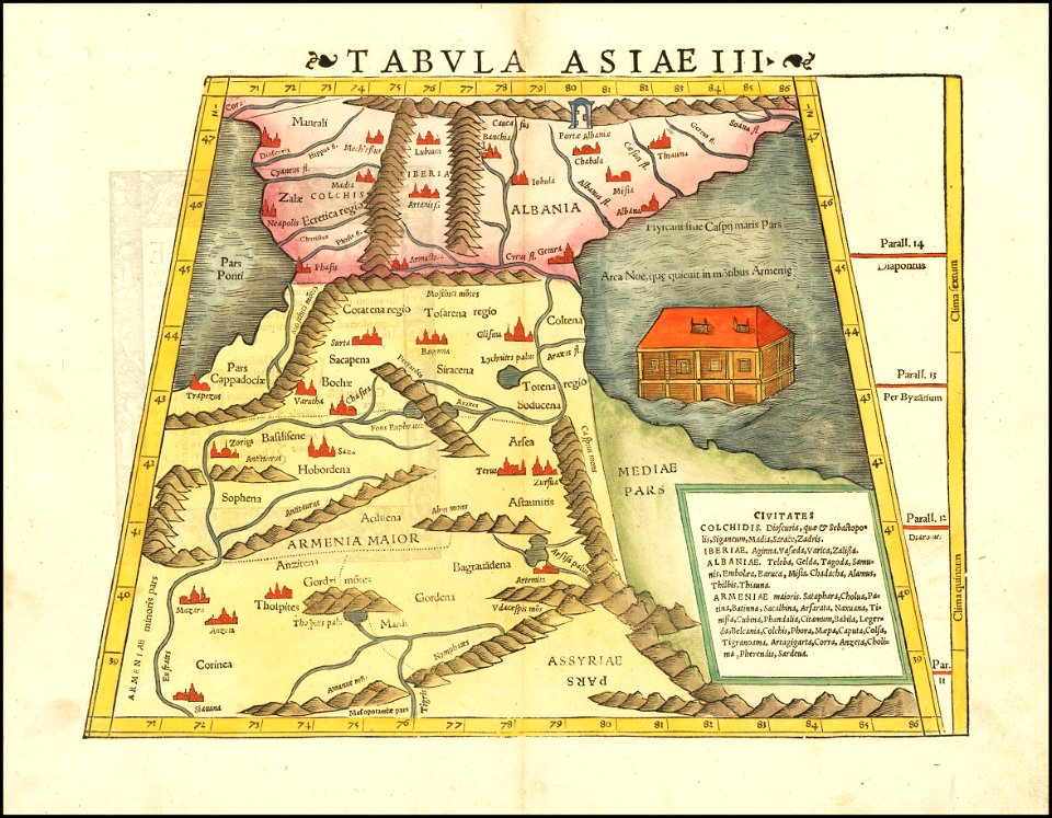
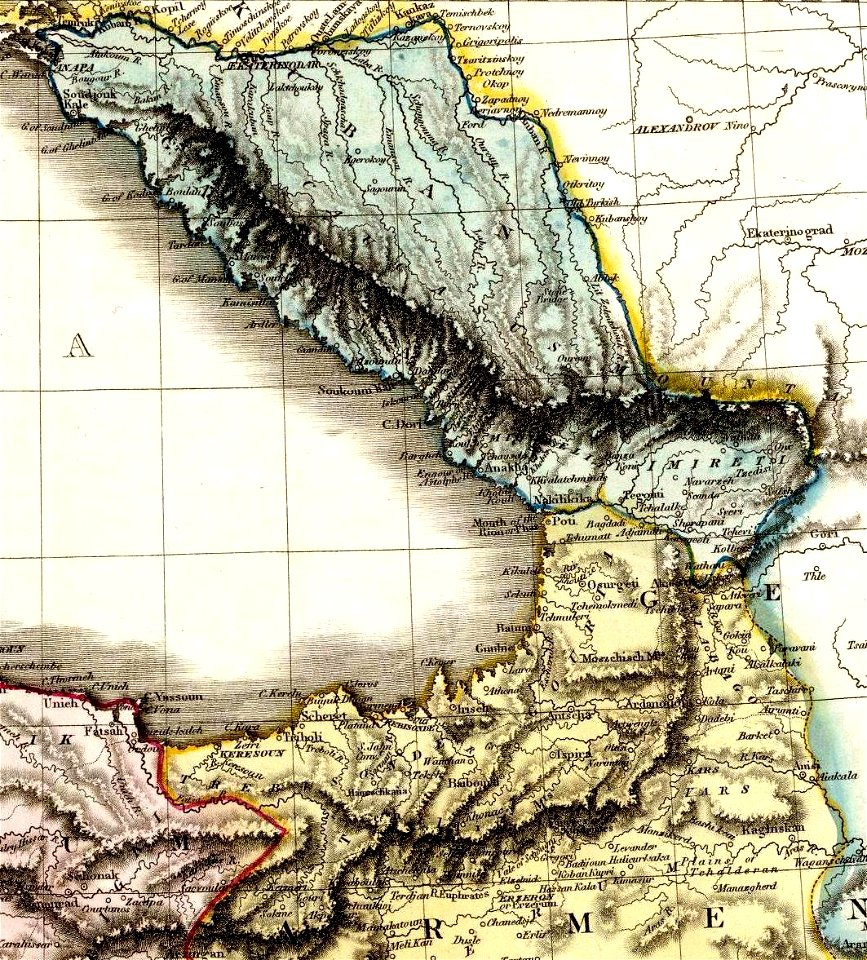
maps of the south caucasus
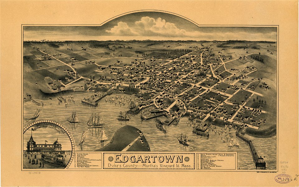
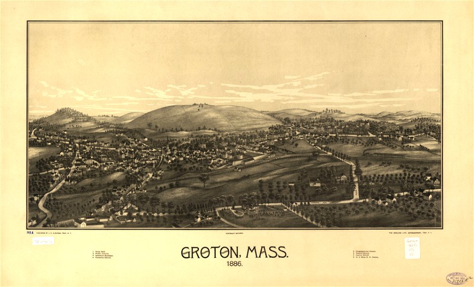
old maps of massachusetts
martha's vineyard
old maps of massachusetts
martha's vineyard
ships on maps
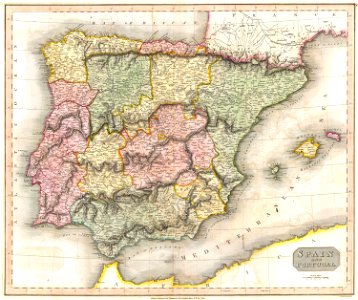
spain
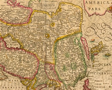
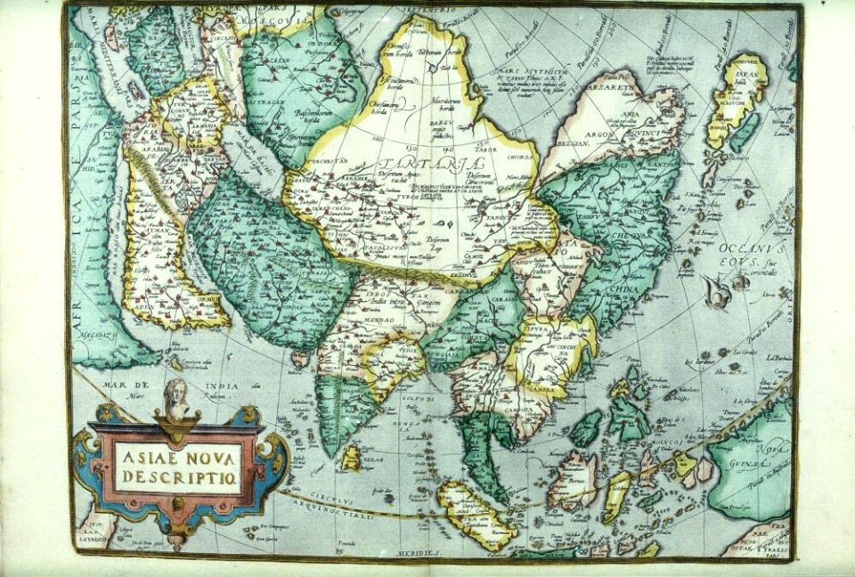
17th-century maps of china
old maps of asia
old maps of the saint lawrence river
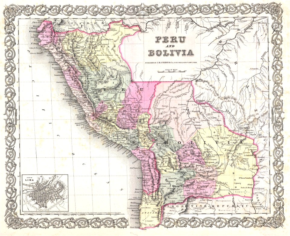
maps by joseph hutchins colton
old maps of peru
1855 maps
old maps of charleston
south carolina
old maps of the saint lawrence river
maps by joseph hutchins colton
maps by jacques-nicolas bellin
french-language maps of china
maps in the library of congress
massachusetts
maps in the library of congress
massachusetts
maps made in the 17th century
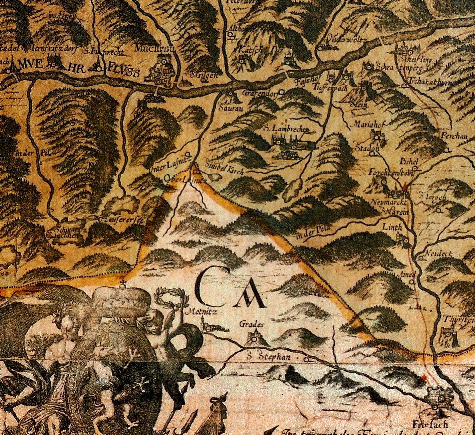
old maps of styria
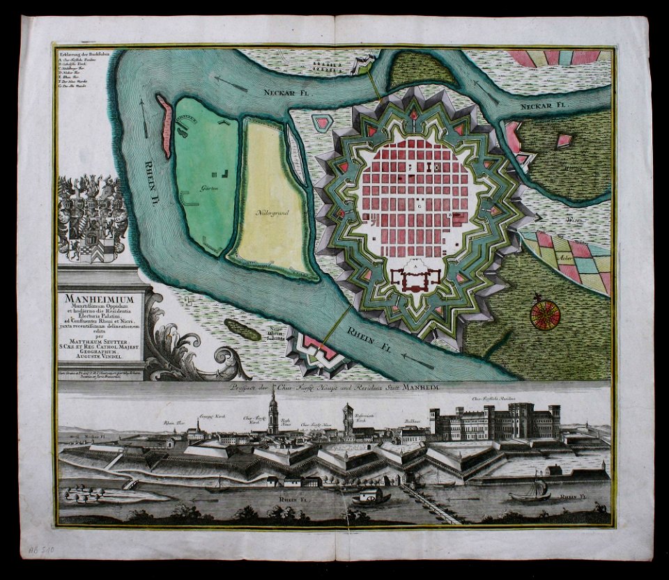
festung mannheim
maps of mannheim
english-language maps
1752
maps by george h. walker and company
maps in the library of congress
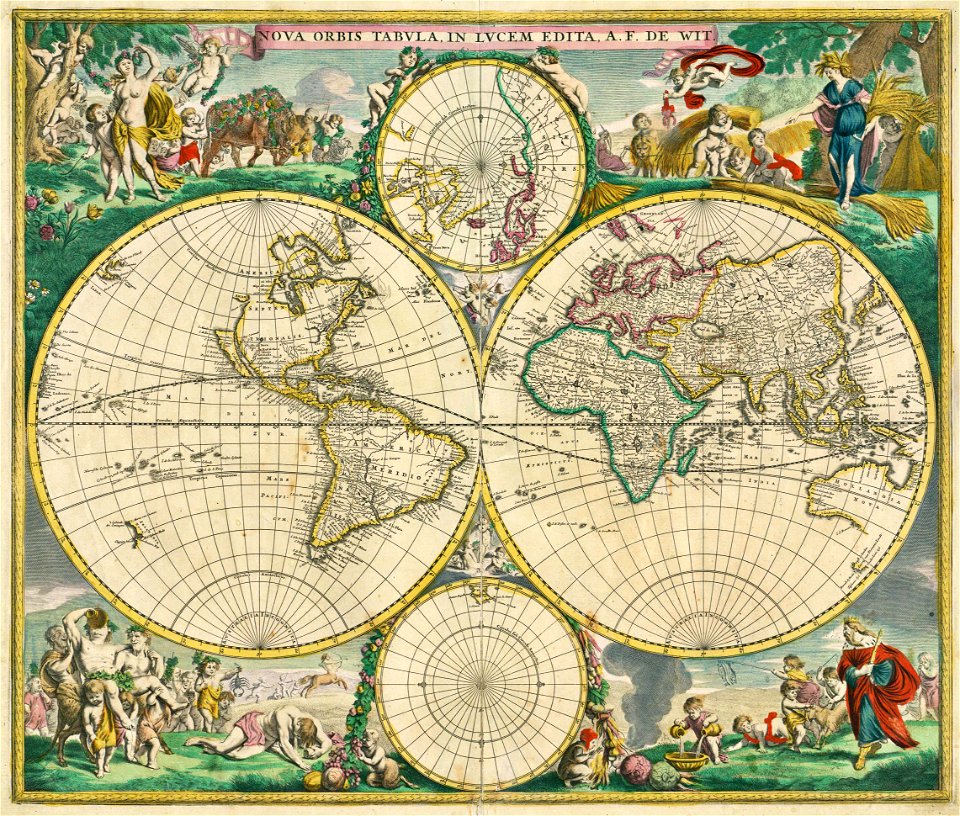
double hemisphere world maps
maps by frederick de wit
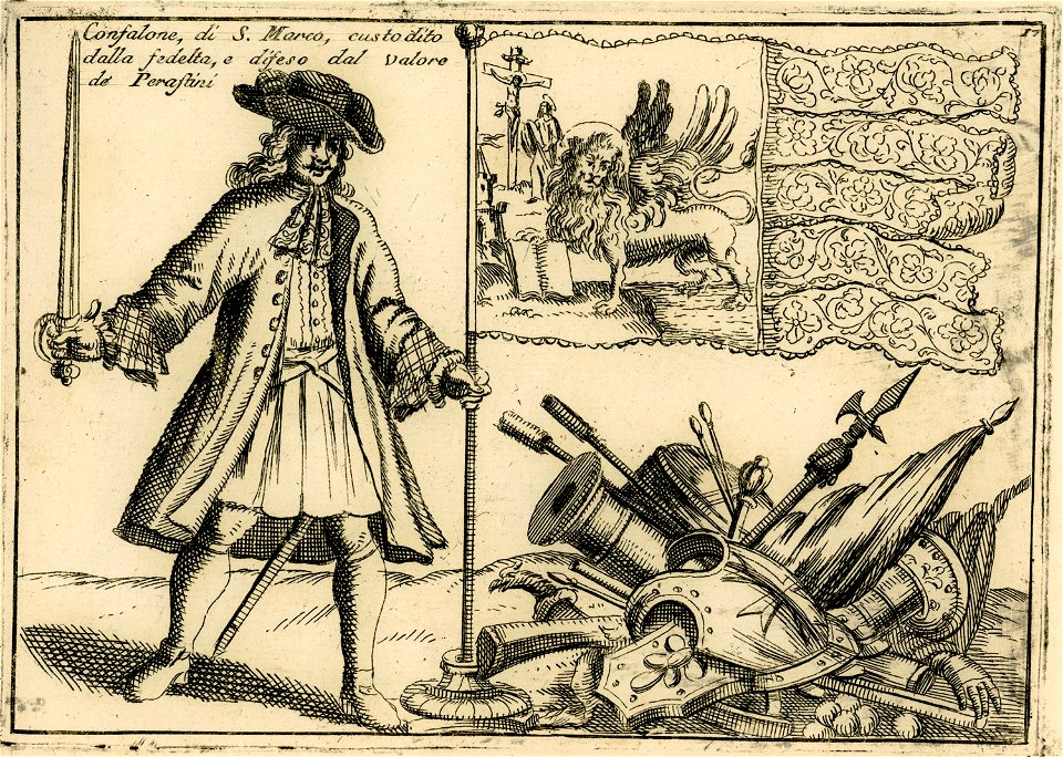
lion of saint mark in heraldry of venice
flags of the republic of venice
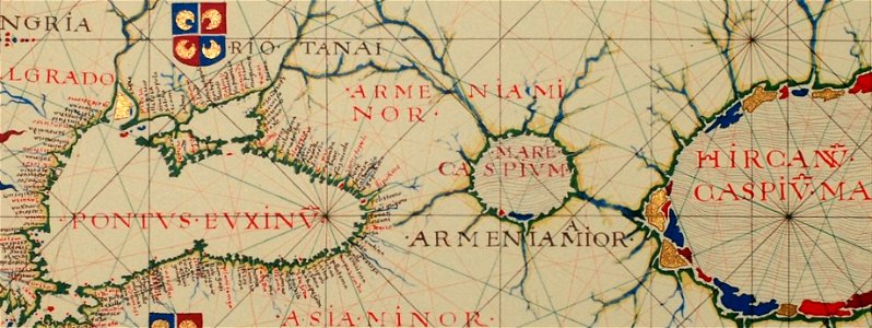
16th-century maps of the black sea
16th-century maps of georgia
maps in the national library of australia
french-language maps
maps in the national library of australia
french-language maps
maps by jacques-nicolas bellin
1750 maps
glinde
bill
maps by frederick de wit
1690s maps of the world
maps by joseph hutchins colton
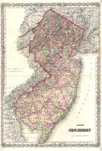
1868 maps of new jersey
maps by joseph hutchins colton
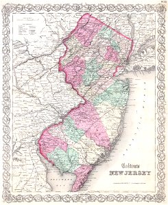
1855 maps of new jersey
maps by joseph hutchins colton
old maps of new hampshire
maps by joseph hutchins colton
1855 maps of north america
maps by joseph hutchins colton
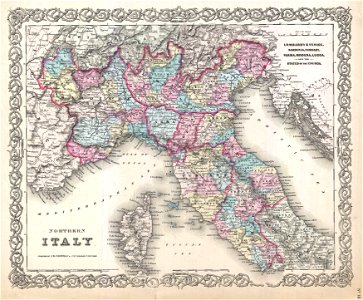
19th-century maps of italy
maps by joseph hutchins colton
d.c.,
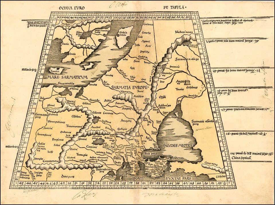
maps by martin waldseemüller
ptolemy's 8th european map
maps by martin waldseemüller
1513 maps
maps by martin waldseemüller
1513 maps
maps by sebastian münster
old maps of the holy land
maps by sebastian münster
ptolemy's 1st african map
maps from turris babel
by athanasius kircher
maps by sebastian münster
europa regina
maps by sebastian münster
1570s maps of europe
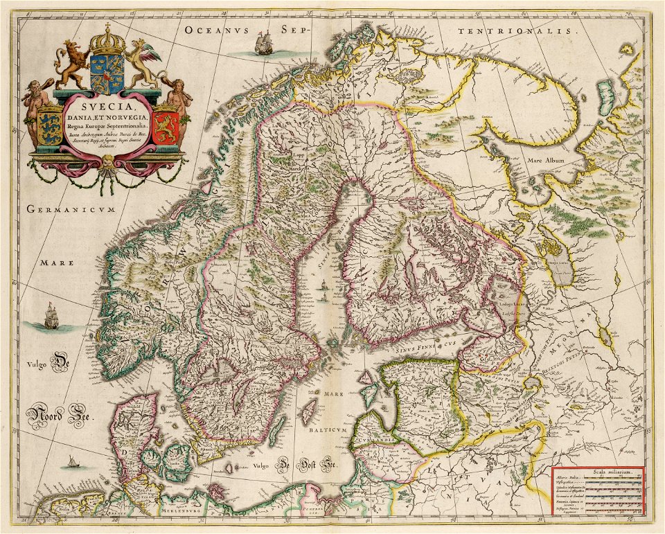
maps by willem and johannes blaeu
1650 maps of ethiopia
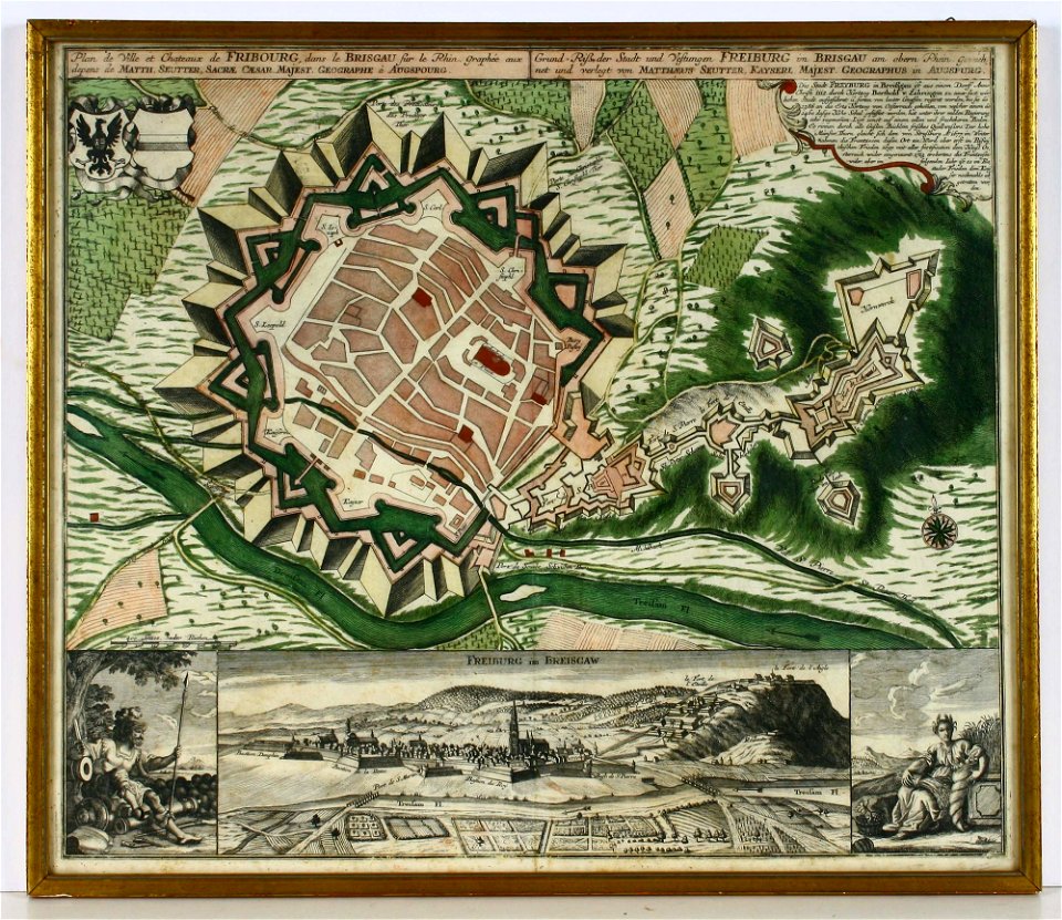
old maps of freiburg im breisgau
maps by matthäus seutter
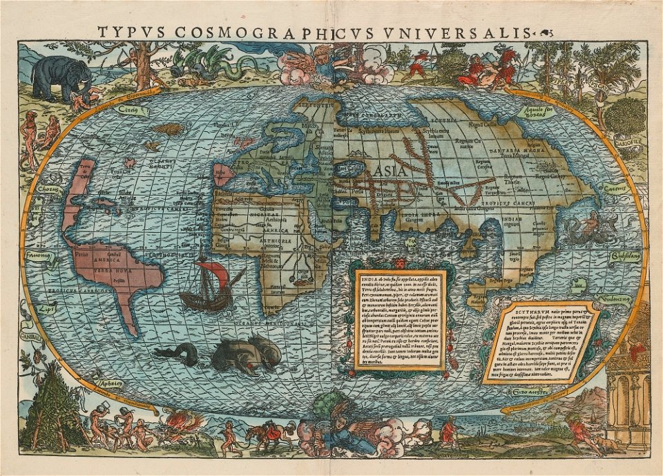
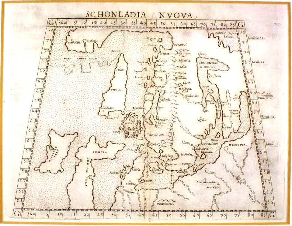
16th-century maps of the world
maps by sebastian münster
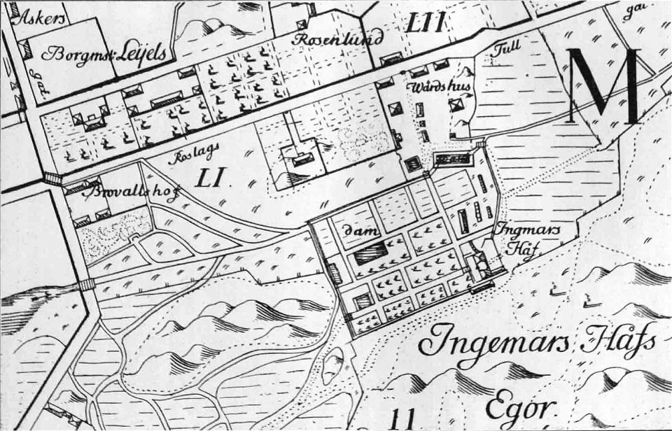
maps of stockholm by petrus tillaeus
ingemarshof
maps by samuel de champlain
old maps of galicia (spain)
maps by willem and johannes blaeu
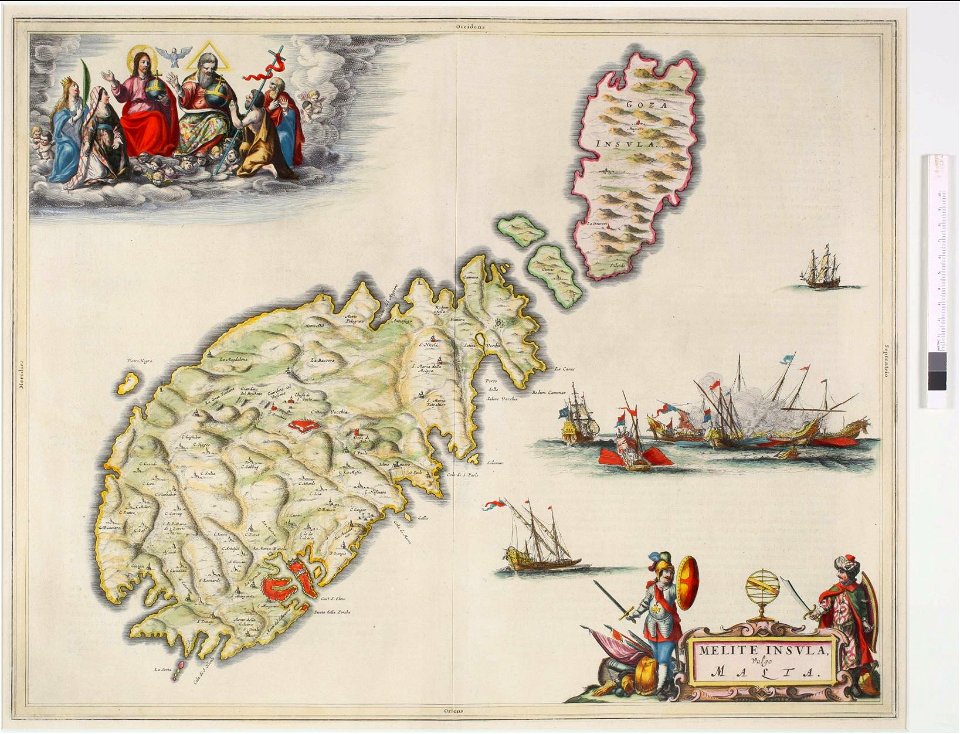
old maps of malta
maps by gustav adolf von varendorf
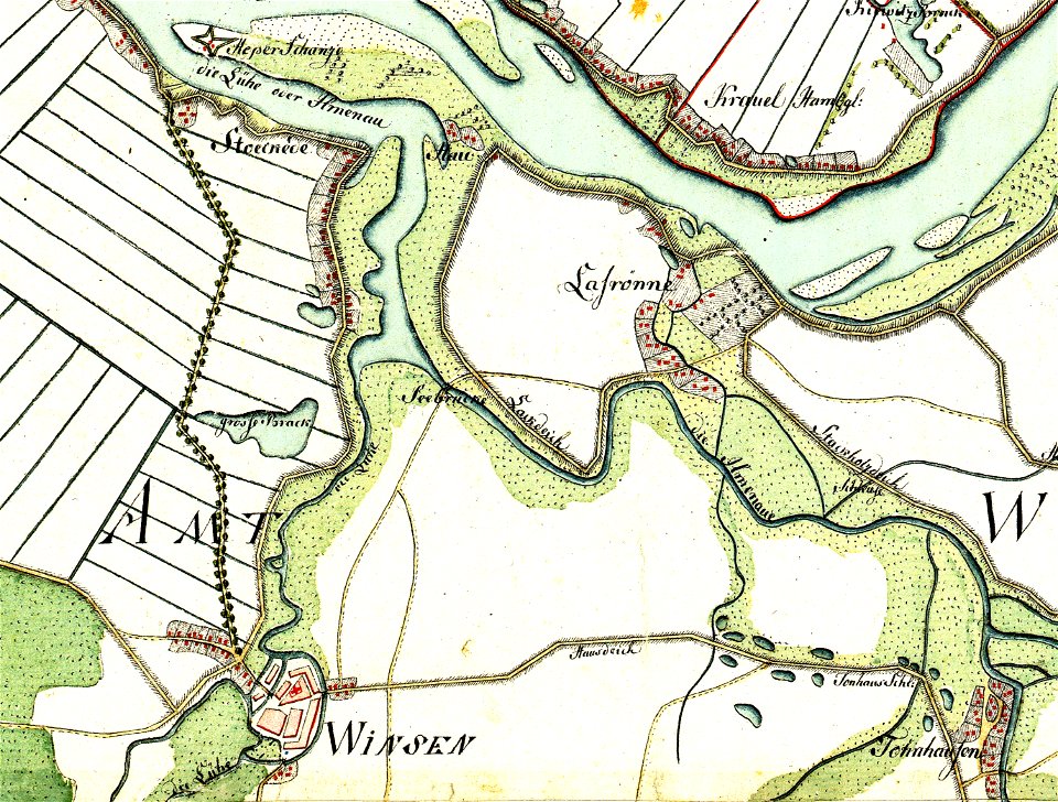
maps of winsen (luhe)
maps by sebastian münster
1542 maps
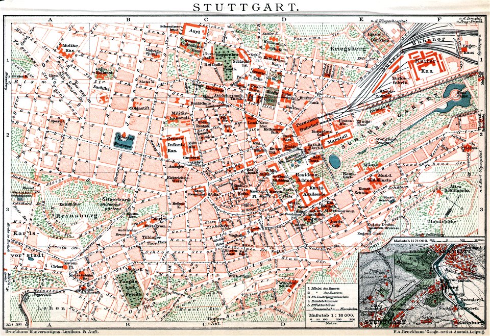
brockhaus' konversations-lexikon (1892)
maps by brockhaus
brockhaus' konversations-lexikon (1892)
maps by brockhaus
maps made in the 16th century
maps by martin waldseemüller
maps by willem and johannes blaeu
1650 maps of ethiopia
james monroe in art
clyde osmer deland
maps by willem and johannes blaeu
maps in the rijksmuseum amsterdam
maps by joseph hutchins colton
1855 maps
maps by joseph hutchins colton
1855 in boston
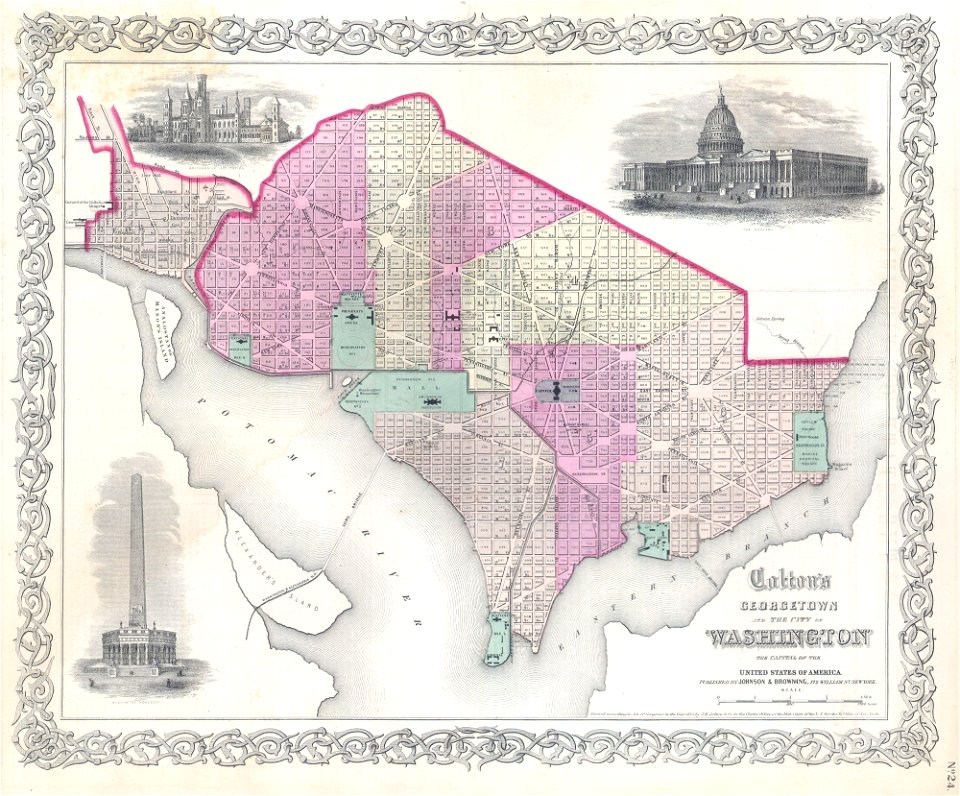
19th-century maps of washington
d.c.,
maps by joseph hutchins colton
1857 in boston
maps by jacques-nicolas bellin
jacques-nicolas bellin
1814 maps
dublin
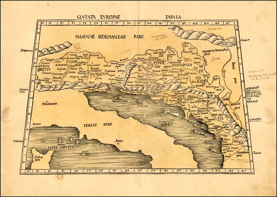
maps by martin waldseemüller
1510s maps of the world
maps by joseph hutchins colton
1880 maps of new york (state)
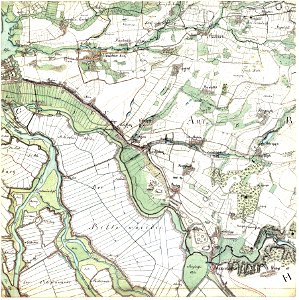
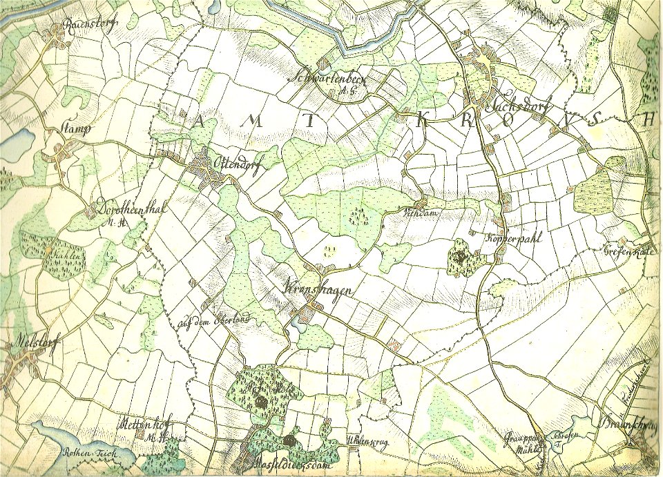
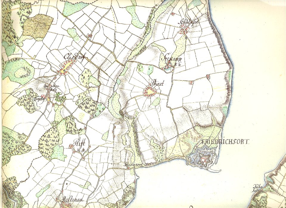
18th-century maps of schleswig-holstein
maps by gustav adolf von varendorf
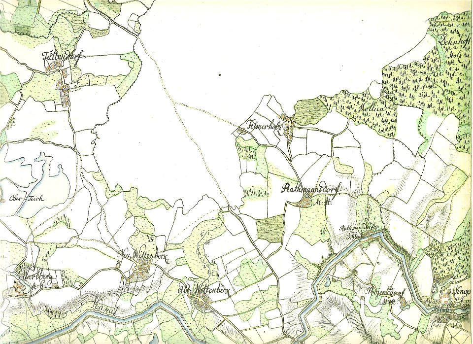
18th-century maps of schleswig-holstein
maps by gustav adolf von varendorf
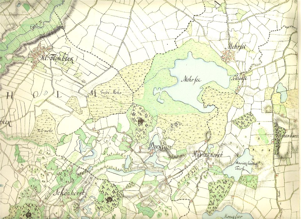
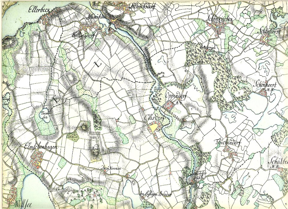
18th-century maps of schleswig-holstein
maps by gustav adolf von varendorf
18th-century maps of schleswig-holstein
maps by gustav adolf von varendorf
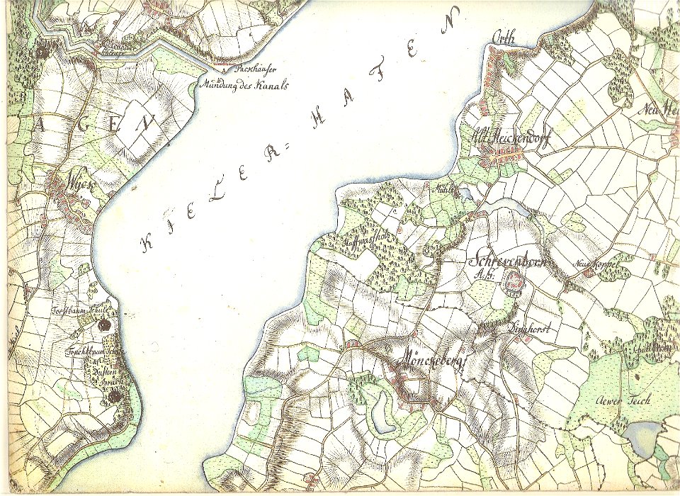
18th-century maps of schleswig-holstein
maps by gustav adolf von varendorf
18th-century maps of schleswig-holstein
maps by gustav adolf von varendorf
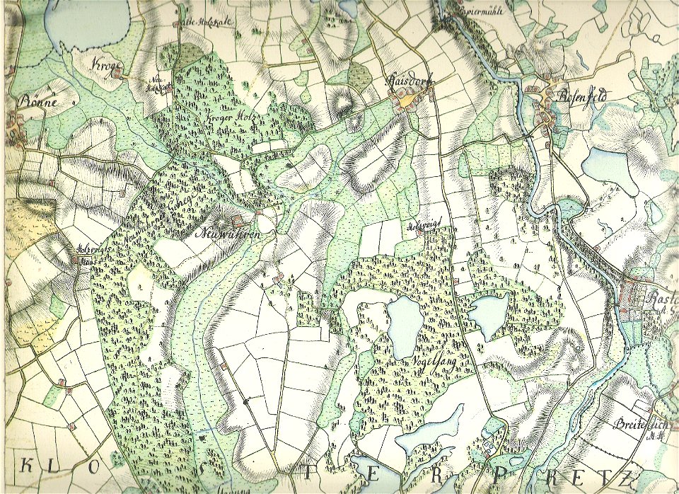
18th-century maps of schleswig-holstein
maps by gustav adolf von varendorf
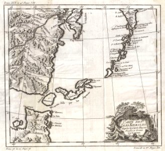
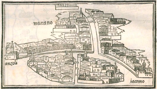
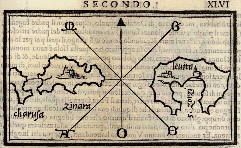
isolario di benedetto bordone (1547)
maps by benedetto bordon
maps by benedetto bordon
maps of leros
isolario di benedetto bordone (1547)
maps by benedetto bordon
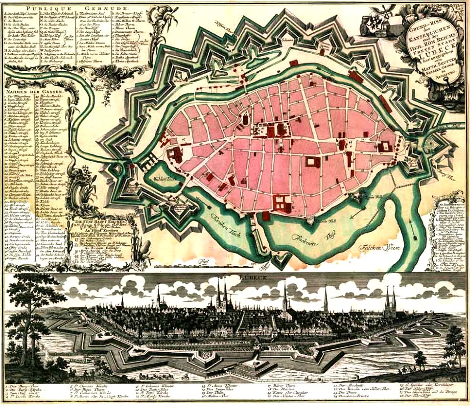
maps by matthäus seutter
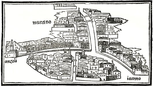
lübeck-altstadt
maps by frederick de wit
copper engraving
18th-century maps of schleswig-holstein
maps by gustav adolf von varendorf
david rumsey historical map collection
maps by william faden
maps by frederick de wit
vollenhove
maps by benedetto bordon
1540s maps of the world
old maps of manhattan
new york city
old maps of new york city
english-language maps
david rumsey historical map collection
j. and p. knapton
maps by jacques-nicolas bellin
1750 maps
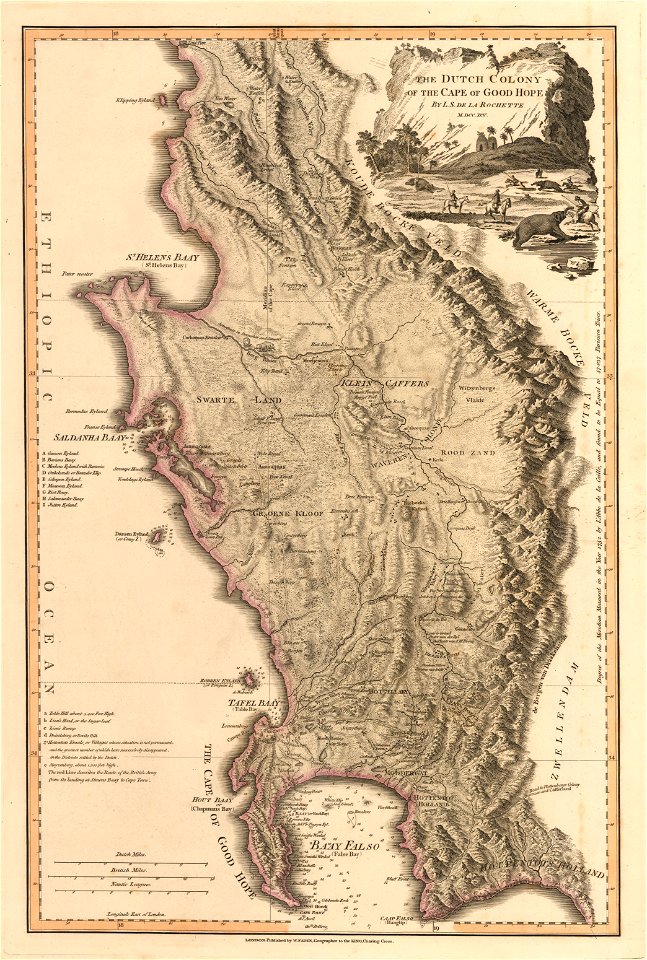
old maps of south africa
maps by william faden
english-language maps
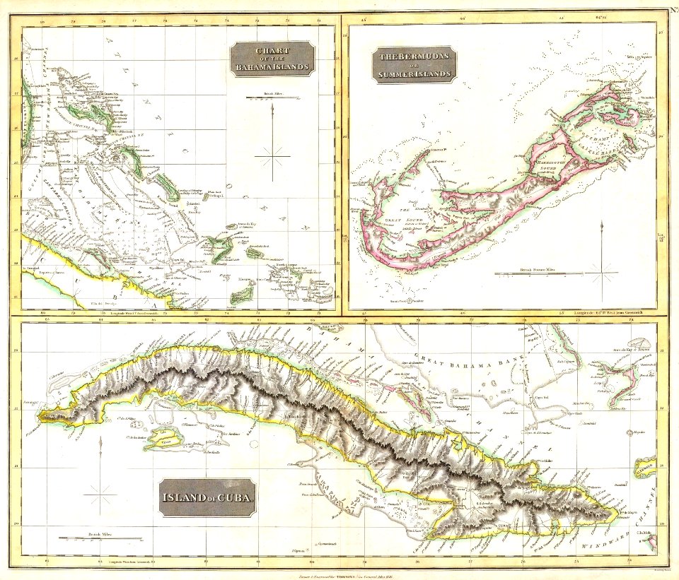
colonial cuba
old maps of the iberian peninsula
maps by john thomson
dillingen
saarland
david rumsey historical map collection
19th-century maps of the black sea
old maps of south africa
swartland
david rumsey historical map collection
old maps of turkey
david rumsey historical map collection
old maps of the middle east
maps by willem and johannes blaeu
copper engraving
old maps of indonesia
old maps of japan
provided by landsbókasafn íslands
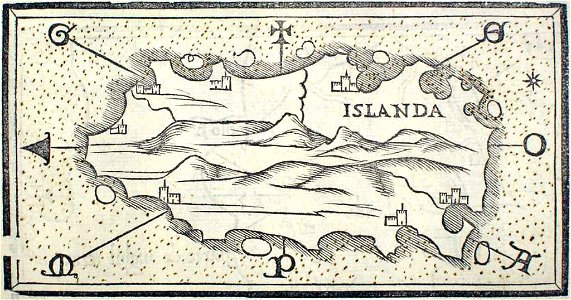
maps by giacomo gastaldi
provided by landsbókasafn íslands
16th-century maps of iceland
provided by landsbókasafn íslands
maps by giacomo gastaldi
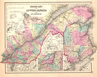
old maps of new brunswick
old maps of newfoundland
old maps of new brunswick
old maps of newfoundland
901 - 1000 of 863,826
Next page
/ 8639